 The art of the bundle. You’ve seen it presented in many different industries and by a host of service
providers. It’s a marketing strategy where you sell several products or services together as a single
solution. It’s a concept that can and should be easily extended to the security market because it means
more revenue and a closer customer relationship.
It’s logical that your customers are looking for a range of services for their business or facility – but they may not know it. They may begin a conversation with your company centering on the need for intrusion detection and realize that access control will bring additional accountability and control. Or, they decide they need to harness their energy usage with HVAC management, detect issues like standing water or perform other critical environmental sensing.
So, to begin with, don’t limit yourself to what the client thought they wanted – talk to them about how their facility can benefit from other services that are easy to add and highly attainable through a cloud- hosted platform and single management interface. When you’ve done your research and you know their potential pain points – you’re in the right place to bundle additional services.
Bundling is your best friend
A physical security system offers the perfect opportunity to add new services – and monthly revenue when you can show the potential client that the solution can help solve numerous problems or challenges they may be experiencing. Multiple services make for a stickier customer, while also preventing price shopping among competitors.
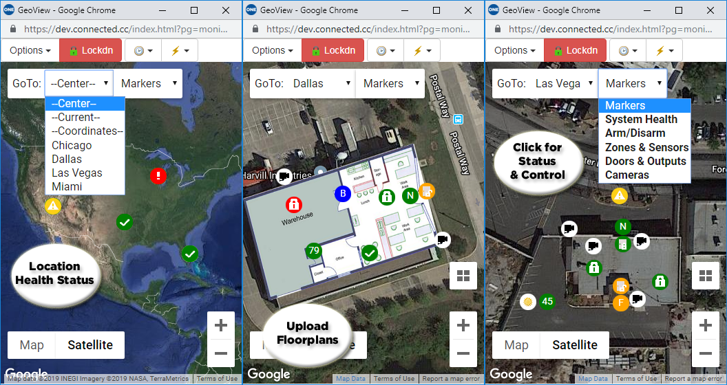
Start by conducting the proper due diligence on the customer as well an in-depth site survey and risk assessment. Apps for access control are quite popular now and perfect for customers who want to arm/disarm and lock doors. But why stop there? What about critical temperature, humidity, weather alerts or even asset tracking for equipment, tools, inventory or electronics? A cloud-hosted management solution can do all this and more.
As you know, the more you offer, the more the dealer and the customer are connected for the long haul. And when the day comes that the owner wants to sell and go enjoy life, more services equals a more valuable company.
Remember that central station monitoring alone does not provide the return it did years ago. Central station monitoring has become a low-priced commodity and the revenues have dropped significantly. Technology today offers so many more opportunities for integrators to add recurring revenue through services, yet some companies may not realize the potential that exists with every possible sale.
A simple and effective cloud-managed platform lets you add services without heavy lifting. Think about bundling when you call on a client - intrusion, video, access control, critical environmental monitoring, energy management and others - to add value and boost profitability.
Contact us today at sales@connectedtechnologies.us or call 866.976.3520 to learn how Connect ONE® can enable additional services and monthly revenue.


